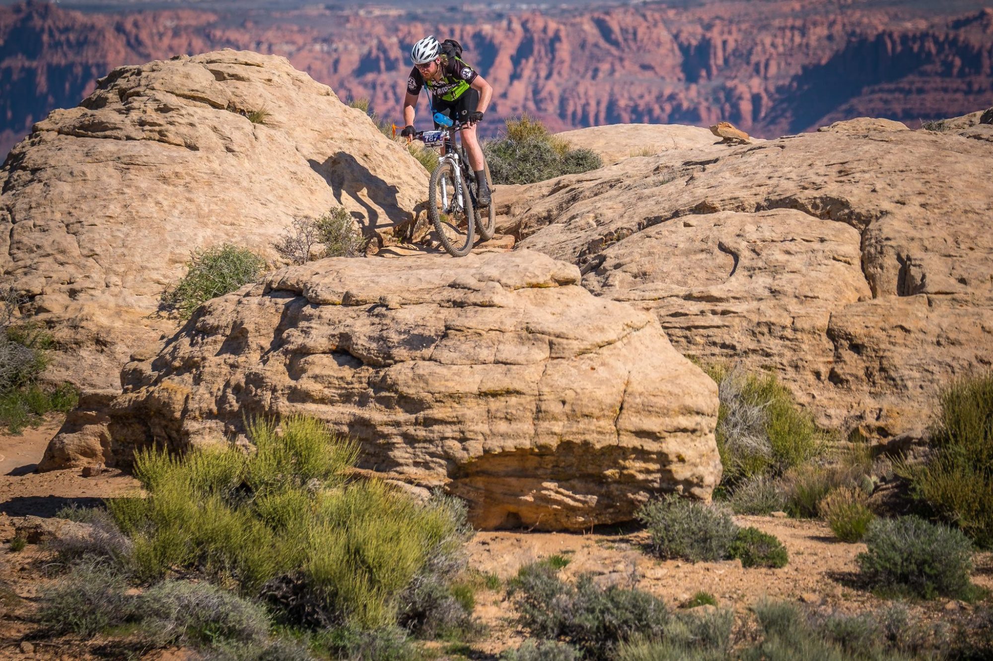
Made my way out to Deerfield Lake today to ride the Deerfield Lake Loop, also known as Trail 40L. Based on the Forest Service literature I expected to do the loop twice in about 4 hours, once clockwise and once counter-clockwise. The Forest Service put the distance at 10 miles and calls the terrain moderate, in reality the route is more like 12 miles and conservatively 1800+ feet of elevation gain. I ended up doing one slow loop clockwise that clocked in around 3:20, and this seemed like a good direction choice, while there are very steep sections in both directions the clockwise direction means you get to make up a lot of your elevation gain on double track with a relatively easy grade.
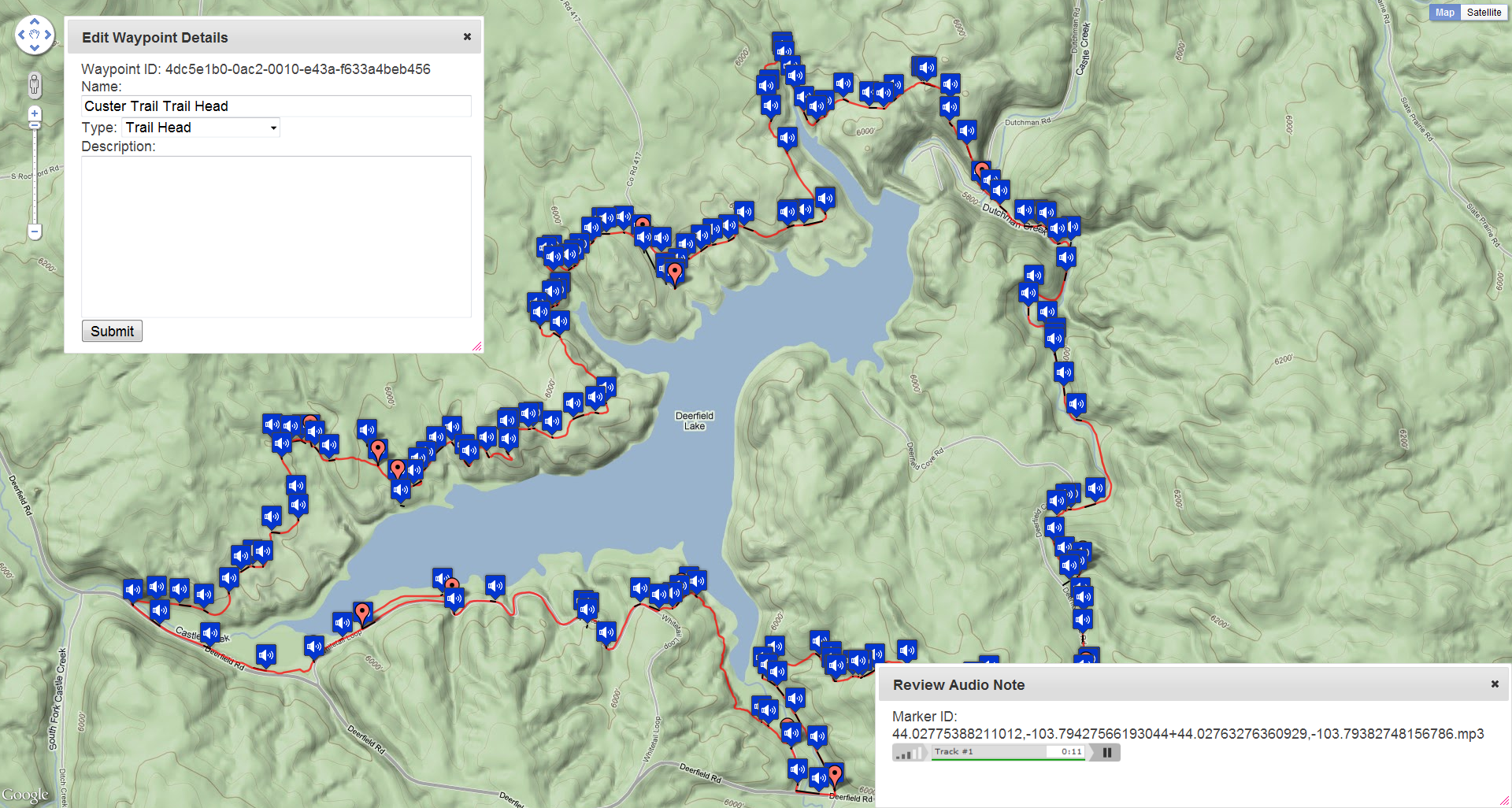
This was the first ride I have done annotating my progress with a digital audio recorder attached to the shoulder strap of my CamelBak, post-ride I rejiggered the website backend to show all of these audio annotations as a map overlay. This way I can reference my audio notes while writing track and waypoint descriptions, all in all this is working quite splendidly so far.
Log: http://connect.garmin.com/activity/83896760
Mileage (car): 100
Mileage (bike): 14
New gear: OLYMPUS VN-8100PC USB PC Interface Digital Voice Recorder ($60)